49
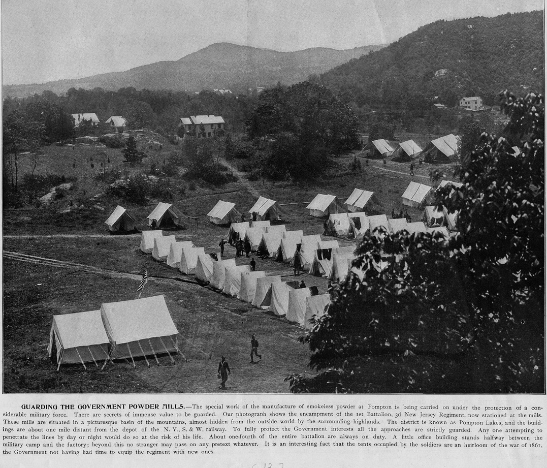
Take the road to your right, heading up the ridge. You will encounter several switchbacks along the way, but relatively few remnants of industry. This is a fairly arduous climb, paying off with limited views only in the fall. Though less than a mile from town, the isolation that allowed DuPont’s explosives activities to flourish is apparent. A viewbook that was produced during the Spanish-American War offers this description for its photos at the site: “Situated in a picturesque basin of the mountains, the mills are almost hidden from the outside world by the dense woodland by which they are surrounded… So dense is the foliage that shuts it in from the outside world that it is only with immense difficulty that a photograph can be taken of it at all. It is here that the driving power of new explosives is measured.”
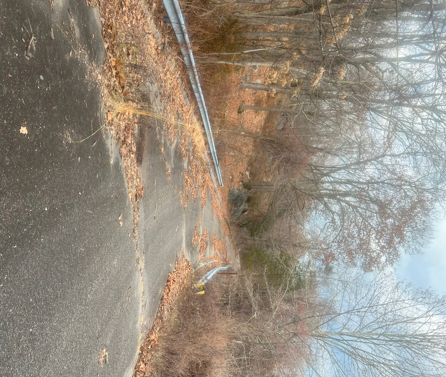
After summiting the mountain, make your way down the other side on the same paved road. At its base, you’ll see the Wanaque River, whose stream will flow southward, to your left. Follow its direction through the relatively undisturbed woodland. The road here is gravel, following DuPont’s removal of its paved “haul road” as part of the remediation process. As the sound of automobile traffic grows louder, you’ll see the ruins of the Lake Inez Dam to your right, and a fence blocks the road. It’s easily circumnavigated by walking in the direction of the river. Once past this fence, you have temporarily exited DuPont’s land. Shrubs and tall grass give way to a busy street, named Wanaque Avenue.