33
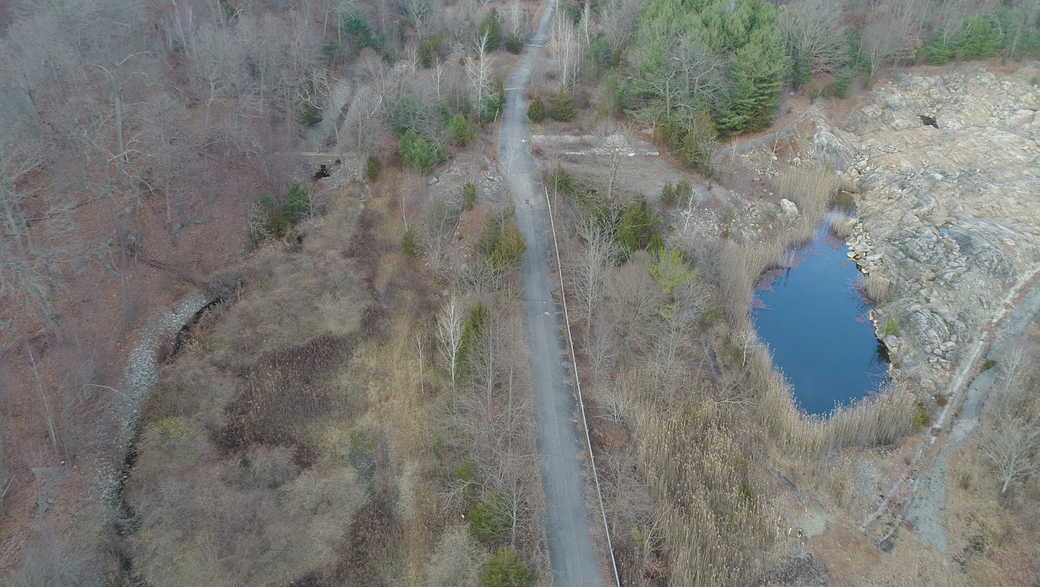
Past one of the concrete pads, there will be a dam-like structure over Acid Brook to your right, and yet another shooting pond to your left, this one deemed AOC #57, “Old Cap Test Area.” This earthen scar looks more like a landslide than a hole. Its slope is less drastic compared to the sudden elevation changes exhibited at AOC #1. The wide field of rock seems to flow from inside the hillside, the soil above it having been blasted away to reveal eons of geological history.
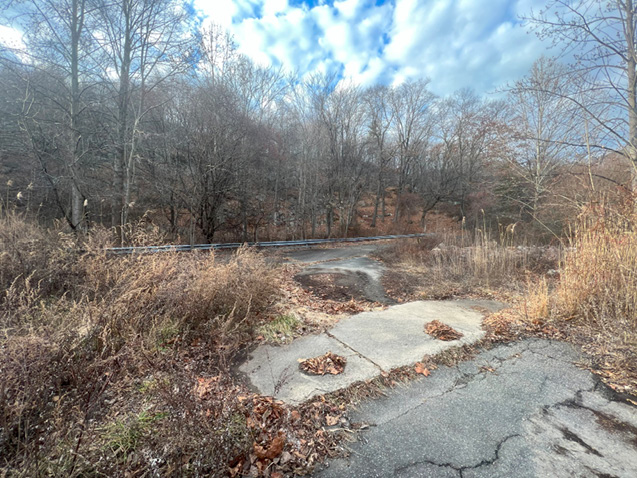
Continue along the road and observe the narrow valley beginning to open up before you, the ridgelines on either side beginning to recede slightly. Stop when you see a well-paved road ascending the ridge to your right. At this intersection, you can continue forward if you choose, though your proximity to the guarded gate at the front of the property, along with the open pavement in an area when the Acid Brook Valley broadens significantly, will put you at risk of getting noticed. Though I don’t recommend exploring this section yourself, I will take this pause to explain some of the organization of the Pompton Lakes Works.
Above Right: AOC #57 through the marsh
Right: The intersection that is the southern limit of the tour in the Acid Brook Valley