85
85
86
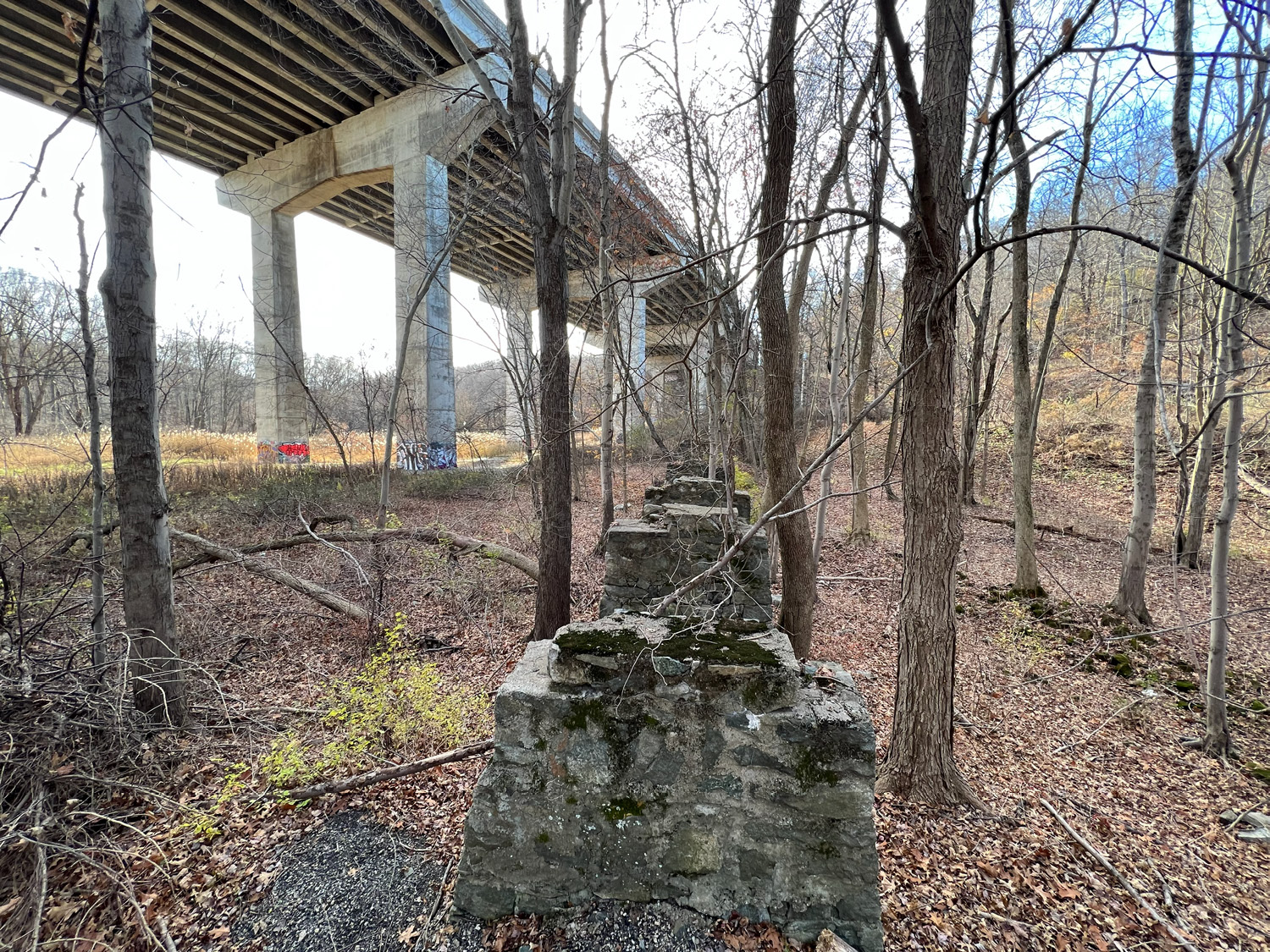
Through the trees, you’ll start to see the most domineering structure in this manifold landscape, while hundreds of others compete for your attention: The Interstate 287 Wanaque River Bridge. Soaring high above the valley, it supersedes the general trend of the ridges and river, cutting through the mountains on either side in its deep rock cuts. Here, the pylons of the past meet the pavement of the present, and the mess of infrastructures below is bypassed entirely. The remnants of the boardwalks, walkways, railroads, bridges, pipes, and all else built by DuPont up and down the banks of the Wanaque and the hills alongside, can hardly be seen by the drivers speeding along so high up.
This is the limit of DuPont’s property to the north, following a land cession to the state in 2005. As of 2010, it was found to still be contaminated, but no fence is up to separate it from the adjacent Back Beach Park in Wanaque. Walk under the bridge to a fork in the road you’ve been following. To the left will lead to the Wanaque Dog Park, and to the right will lead to the fields and parking lot at Back Beach Park. Along the way, if you stay near the river, you can see the ruins of an old railroad bridge locally known as the “Iron Bridge.” It appears to be sinking into the riverbed, but it’s possible it was designed with that tilt, as pictured historically. At the end of your tour, the limits of design and nature are called into question once more as the river slowly wears the stone support down.
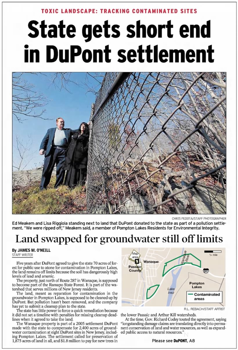
Right: “State gets short end in DuPont settlement,”
The Herald-News, December 6, 2010, page A1
Opposite: Photo by Jenna Waibel